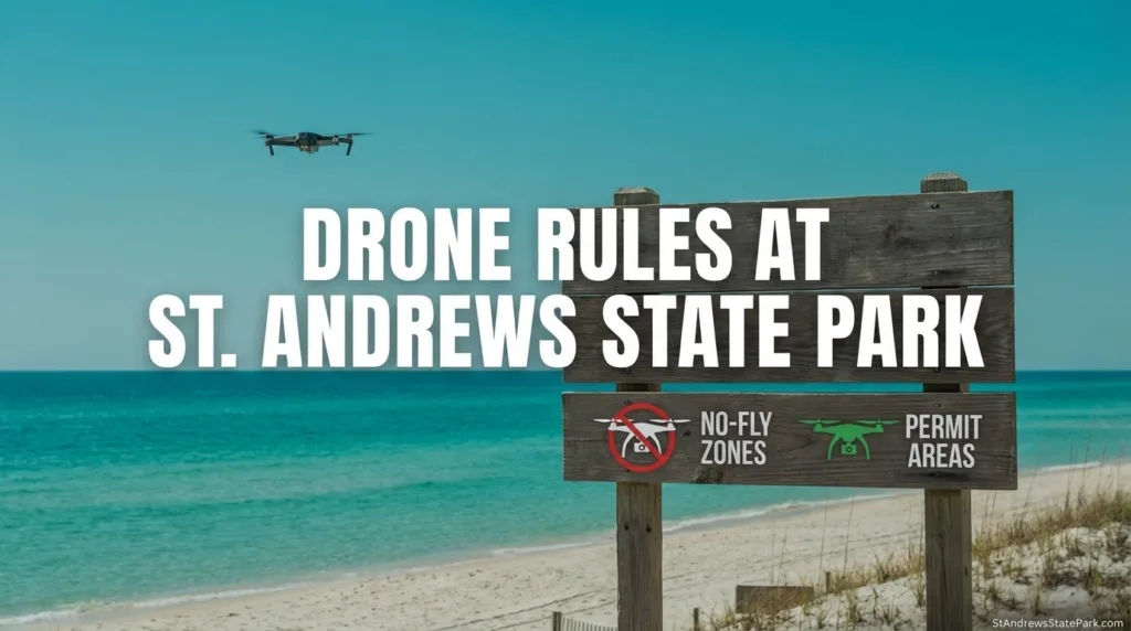
St. Andrews State Park looks like the kind of shoreline people want to film from above: clear water, long sand lines, jetties, marsh, and Shell Island nearby. That is why this question comes up so often. The plain answer is still simple. Visitors should not launch or land a drone inside St. Andrews State Park. Florida State Parks says drone launching and landing is prohibited in state parks except in very rare cases, and it also says there are no guest-accessible landing facilities in Florida state parks.[a]
📡 Plain-Language Answer
Inside the park, the rule covers the places most visitors think of first: parking areas, beach access points, jetty and pier areas, the campground, marina-side areas, and park-managed shoreline access connected to Shell Island use. If the takeoff or landing point is on park property, treat the answer as no unless the park itself has cleared a rare special use.[a]
What The Rule Means Inside The Park
The legal wording matters here. The Florida State Parks rule quoted by the park service bars aircraft and other aerial apparatus from taking off or landing in a park, and the Florida Park Service places drones in that category.[a] In ordinary visitor use, that closes the door on the usual drone routine: unpack, launch from sand or pavement, orbit the shoreline, then land back in the same spot. Not there.
| Area Inside St. Andrews State Park | Visitor Drone Takeoff Or Landing | Why The Answer Stays The Same |
|---|---|---|
| Main entrance, parking lots, paved park roads | Not allowed | They are part of park property, so the state park launch-and-land rule applies.[a] |
| Gulf beach, jetty area, Gulf Pier area | Not allowed | These are visitor-use areas inside the park boundary.[b] |
| Campground, marina, lagoon-side day-use areas | Not allowed | The rule is about the launch or landing point on park land, not whether the area feels open enough to fly.[a] |
| Park-managed shoreline access connected to Shell Island use | Not allowed | The park plan treats Shell Island frontage and related habitat as part of the larger managed coastal system.[d] |
One detail trips people up: FAA compliance and park permission are not the same thing. A drone can be legal under federal rules and still be barred from taking off on state park land. Green airspace on a map does not erase a park property rule. Different layers, different job.
🧭 A Small Drone Does Not Change The Park Rule
A sub-250 gram drone can change federal registration requirements for recreational flying. It does not create a right to launch or land inside St. Andrews State Park.[f]
Why St. Andrews Gets This Question So Often
St. Andrews is not a tiny beach access point. The park’s approved management plan puts it at 1,167 acres, and the same plan describes 14 natural communities across the unit.[d] That scale helps explain the confusion. To a visitor, it can feel wide open. On paper, it is still a managed state park landscape with habitat, infrastructure, and restoration priorities layered into the same shoreline.
The public-facing park page adds the part most visitors know first: over 1.5 miles of beaches, water on both sides, and a park that serves as a popular migratory stopover for bird and butterfly species.[b] Put simply, St. Andrews is scenic because it is ecologically active, not because it is empty.
The broader shoreline number is even larger in the park plan. When Shell Island frontage is counted, the approved plan says the park unit includes about 6 miles of beach, with roughly 2.1 miles on the mainland and 3.9 miles on Shell Island.[d] That is a lot of sand. It is also a lot of habitat to protect.
Why The Park Is Careful About Drones
Florida State Parks does not frame drone limits as paperwork for the sake of paperwork. Its own FAQ says the park system keeps drone use rare because preservation comes first, and it notes that nesting birds may see drones as predators and may abandon nests or avoid otherwise suitable habitat when drones are present often enough.[a]
That lands differently at St. Andrews once you read the park plan. Weekly shorebird monitoring there runs through the nesting season from February 15 to September 1.[d] On Shell Island, the plan records annual nesting ranges of about 30 to 40 snowy plover nests, 30 to 80 least tern nests, 0 to 10 black skimmer nests, and 5 to 10 Wilson’s plover nests. Mainland numbers are smaller, but they are still there.[d]
Sea turtles are part of the same story. The approved plan says annual sea turtle nesting at the park ranged from 1 to 21 nests, with an average of 10.8 loggerhead nests per season since 1996, and it notes that loggerheads are the main nesting species there.[d] That is why the “can I just launch for a minute?” question is not treated lightly.
| Published Figure From The Park Plan | What It Tells You |
|---|---|
| 1,167 acres | The park is a large managed unit, not a single beach strip.[d] |
| About 6 miles of beach | Mainland and Shell Island shoreline are part of one larger coastal system in the plan.[d] |
| February 15 to September 1 | That is the weekly shorebird monitoring season noted in the plan.[d] |
| 1 to 21 sea turtle nests annually | Sea turtle use is real, even if yearly totals vary.[d] |
| 434,000 dune plants installed in 2006 | Dune restoration is an active management issue, not background scenery.[d] |
How The Landscape Changes The Answer
Walk St. Andrews on the ground and the place keeps changing. Beach dune. Coastal scrub. Basin marsh. Maritime hammock. Flatwoods. The park plan notes natural communities, marsh edges, Gator Lake on the mainland, and even a freshwater coastal dune lake on Shell Island.[d] So the drone question is not just about air over sand. It is about what sits under that air.
Storm recovery matters too. In 2006, the plan says more than 434,000 sea oats and other dune plants were planted to rebuild foredunes after tropical storm damage from 2004 and 2005.[d] Another section of the plan says part of the channel-side shoreline near Gator Lake was considered critically eroding by the state’s coastal systems program in 2014.[d] Look at that together and the rule makes practical sense: the park is managed like living coastline, because that is exactly what it is.
That is also why St. Andrews often feels stricter than an ordinary roadside beach access. A state park has to protect wildlife use, dune recovery, public recreation, and visitor flow all at once. Pretty, yes. Simple, no.
Federal Rules Still Matter Outside Park Property
If you are planning a legal launch outside park property, federal rules still step in. The FAA says recreational flyers must take the free TRUST test, carry proof of passage, register if the drone weighs 250 grams (0.55 pounds) or more, and keep the aircraft within visual line of sight.[e]
The FAA also says drones that are required to be registered, or that have been registered, must comply with Remote ID.[g] For many pilots, that is the part they remember only after they unpack. Better to sort it before leaving the car.
For airspace awareness, the FAA’s B4UFLY service now works through approved third-party providers rather than a single old app, so checking current flight status before any nearby operation is the smart move.[h] Coastal areas can shift in ways visitors do not expect.
Common Situations People Ask About
Mainland Beach And Jetty Areas
If you are standing on the sand, near the jetty rocks, or around the Gulf Pier inside the park, the visitor answer is the same: do not launch or land there.[a]
Campground And Marina
The campground and marina feel less sensitive than an open nesting beach to many visitors. Still, they are park property first. The launch-and-land issue does not disappear just because the surface is pavement or a campsite loop.[c]
Shell Island Side
Shell Island is where the question gets asked most often because the scenery is so open. Yet the park plan ties Shell Island shoreline, dunes, wildlife use, and restoration into the same management picture.[d] For park-managed areas connected to St. Andrews State Park, that makes the no-launch answer even easier to understand.
FAQ
Can I fly a drone at St. Andrews State Park if I have FAA registration?
FAA registration does not override the park rule. The issue inside St. Andrews State Park is the launch or landing point on park property, and Florida State Parks says visitor drone launching and landing is prohibited except in very rare circumstances.
Does a sub-250 gram drone make it okay?
No. A lighter drone can change federal registration requirements for recreational flying, but it does not create permission to launch or land inside the park.
Why are drones limited so tightly in this park?
The official state park explanation points to resource protection, especially the effect drones can have on nesting birds. St. Andrews also has monitored shorebird nesting areas, sea turtle nesting, dunes, marshes, and active restoration needs.
Does the rule only apply to the main beach?
No. Visitors should treat the rule as applying across park property, including the common use areas people ask about most: parking lots, roads, beach access points, jetty and pier areas, the campground, and other park-managed access areas.
What should I check if I plan to launch outside park property?
Check the FAA requirements that match your flight type, confirm whether registration applies, make sure Remote ID requirements are met when they apply, and use an FAA-approved B4UFLY provider for current airspace awareness before you fly.
Sources
- [a] Florida State Parks FAQ — used for the statewide drone rule, the quoted launch-and-land restriction, the note that drones are treated as “other aerial apparatus,” the absence of guest-accessible landing facilities, and the explanation about wildlife sensitivity. (Reliable because it is the official Florida State Parks guidance page operated by the Florida Department of Environmental Protection.) Open source
- [b] St. Andrews State Park Official Page — used for the park’s public-facing details such as hours, the over-1.5-mile beach description, and the note that the park is a migratory stopover for birds and butterflies. (Reliable because it is the official park page within the Florida State Parks system.) Open source
- [c] St. Andrews State Park Hours And Fees — used for the current entrance, camping, and access fee details mentioned in the article’s park-property context. (Reliable because it is the official hours and fees page for this park.) Open source
- [d] St. Andrews State Park Approved Management Plan (2016 PDF) — used for the acreage, beach mileage including Shell Island, habitat and nesting figures, dune restoration data, erosion notes, and other park-specific management details. (Reliable because it is an official Florida Department of Environmental Protection management plan for the park.) Open source
- [e] FAA Recreational Flyers Page — used for TRUST, the 250 g registration threshold for recreational flyers, and the visual line-of-sight reminder. (Reliable because it is the Federal Aviation Administration’s official recreational drone guidance.) Open source
- [f] FAA Drone Registration Page — used for the under-250 g recreational exception and the registration basics that often get confused with park permission. (Reliable because it is the FAA’s official registration page.) Open source
- [g] FAA Remote ID Page — used for the current Remote ID requirement language for drones that must be registered or have been registered. (Reliable because it is the FAA’s official Remote ID guidance page.) Open source
- [h] FAA B4UFLY Page — used for the current B4UFLY service model through FAA-approved providers. (Reliable because it is the FAA’s official airspace-awareness page for drone pilots.) Open source