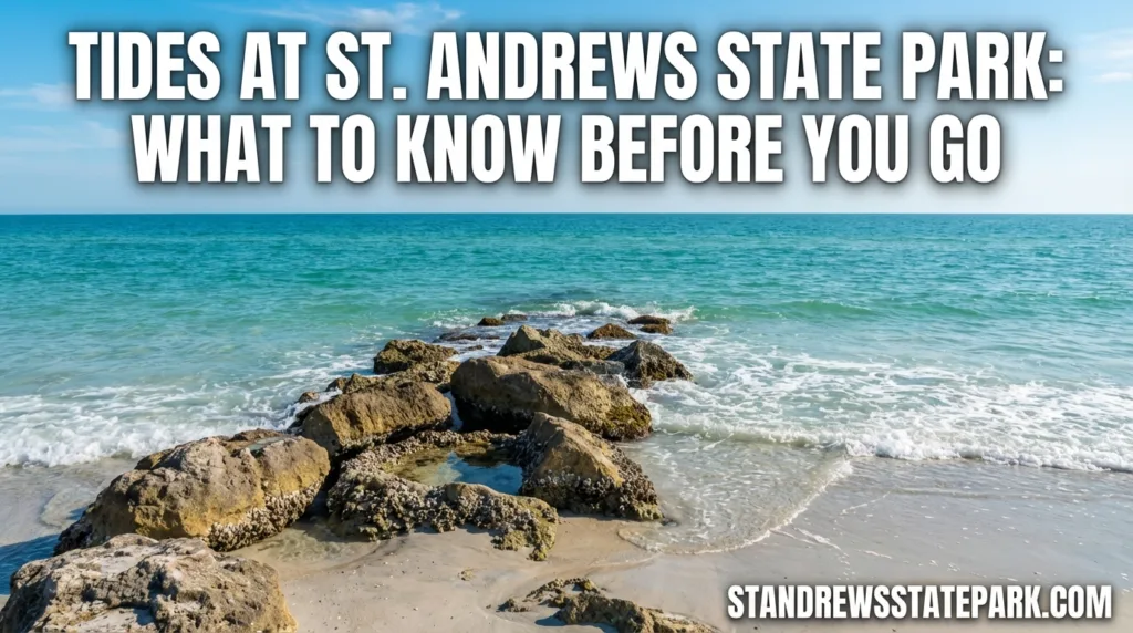
Tides at St. Andrews State Park matter more than many first-time visitors expect. The vertical change is usually modest, but the setting is not simple at all: the park sits where Grand Lagoon, St. Andrew Bay, the pass, the jetties, and the Gulf side all meet within one park system. Florida State Parks presents St. Andrews as a peninsula with Gulf water on one side and bay water on the other, and that split is exactly why one tide number can look very different once you are standing on the beach, near the pass, or along the lagoon edge.[a]
🌊 The simplest way to read St. Andrews: use one eye for water level, and the other for water movement. At this park, that second part matters a lot near the pass and jetty area.
The Numbers Behind The Water
NOAA datum pages for the two most useful nearby stations show a very similar mean tide range: about 1.20 feet at both the park-side Grand Lagoon station and the New Entrance Channel station. So, this is usually not a place where the shoreline rises and falls in a dramatic wall of water. What changes more often is where the water is moving, how much dry sand is left, and how much shallow edge or bay flat is exposed.
| NOAA Station | Useful Numbers | Best For Reading |
|---|---|---|
| St. Andrews State Park, Grand Lagoon [d] | MHW 1.29 ft MLW 0.09 ft Mean Range 1.20 ft | Lagoon-side water level, shallows, launch edges, campground shoreline |
| New Entrance Channel, St. Andrew Bay [e] | MHW 1.27 ft MLW 0.07 ft Mean Range 1.20 ft | Pass, jetty area, moving water near the entrance channel |
One small technical note: those NOAA datum values are referenced to MLLW (Mean Lower Low Water). They are excellent for understanding the park’s normal water-level behavior, but they are not the same thing as a live tide table for a specific morning or afternoon.
Why Tides Matter Here
The park’s approved management plan places St. Andrews at the pass between St. Andrew Bay and the Gulf, with land on both the mainland and Shell Island. It also notes that the regional drainage now moves through the ship channel between the two parts of the park. Read that once, and the tide story gets clearer: this is not one shoreline behaving one way; it is a set of connected shorelines reacting to the same cycle in different shapes and directions.[b]
The same plan says the park has roughly 68,800 feet of shoreline, or about 13 miles in total, across Grand Lagoon, St. Andrew Bay, and the Gulf, with about 4.6 miles of Gulf beach. Most of that Gulf beach lies on Shell Island. That long mix of open beach, bay edge, and inlet frontage is why tide awareness is useful even on a calm-looking day.[b]
The Gulf Beach
On the open Gulf side, tide mostly changes beach width and entry depth. High water pushes the swash line farther up the sand and trims down the amount of dry beach. Lower water often leaves more room for walking and makes nearshore bars easier to spot. Still, because the normal range here is fairly small, wind and surf shape what you notice almost as much as the tide itself.
The Pass And Jetty Area
This is where the park’s tide story becomes more vivid. The approved plan notes that the two jetty structures extend from the park’s beaches through the St. Andrew Bay navigation channel. That alone tells you the pass is not just another swim edge; it is a shoreline tied directly to a managed inlet and channel opening.[b]
NOAA also maintains current-prediction coverage for the St. Andrew Bay Entrance at multiple depths. That is the part many visitors overlook. Near the pass, flow matters as much as height, so an ordinary-looking tide day can still feel very different once the water is pushing through the entrance.[f]
Grand Lagoon And The Kiddie Pool
Florida State Parks describes the kiddie pool lagoon as clear and shallow, and that is why visitors often notice tide changes there in a very practical way. The shift may look gentle, but it still changes how much shallow bottom is covered, where the edge line sits, and how the lagoon-side shoreline feels underfoot. In calmer areas like this, small water-level changes are easier to see than they are on the open surf line.[c]
Which NOAA Page To Check
People often search for “the St. Andrews tide,” as if there were one perfect number. There really are three better ways to read it, depending on where you plan to spend time in the park.
- Check the Grand Lagoon station if your focus is the lagoon side, launch edges, or the campground shoreline.[d]
- Check the New Entrance Channel station if you care most about the pass, the jetties, or the water running through the inlet.[e]
- Check NOAA current predictions for the entrance when the feel of moving water matters more than the raw tide height, especially around the jetty side and channel approaches.[f]
That location-specific read is the part many articles miss. At St. Andrews, the better question is not only “What is the tide?” but also “Which side of the park am I actually reading?”
What High Tide And Low Tide Change On The Ground
The most useful effects are easy to spot once you know where to look. They are not abstract chart details. They change the shape of the visit.
- Beach Width: higher water usually leaves less dry sand on the Gulf side, while lower water opens more walking room along the shore.
- Bay Flats: the park plan notes that exposed tidal flats appear along parts of the bay shoreline at low tide, and those flats are used by foraging shorebirds, especially in winter.[b]
- Water Depth At The Edge: on lagoon and bay-facing segments, even a modest rise or fall can change how shallow the water feels near shore and around launch points.
- Current Feel Near The Pass: around the entrance channel, the tide turn often feels less like a simple up-or-down shift and more like a change in how strongly the water pulls through the opening.
🐚 Low winter tides can reveal more than extra sand. On the bay side, exposed flats are also part of the park’s habitat story, so a lower waterline can mean more bird activity and more visible feeding ground, not just more room to walk.[b]
Weather Wind And Ongoing Park Changes
A tide table is never the whole picture. At St. Andrews, wind setup, recent surf, and shoreline shape can make the water look fuller or flatter than the chart alone would suggest. The park’s current project notice also says new picnic pavilions are being built in the jetty area, with periods of reduced parking there. So if your plan revolves around catching a certain tide phase near the pass, it is smart to check the park’s latest notice as well as NOAA.[g]
That is really the local pattern in one sentence: read the station, then read the place. St. Andrews rewards that extra step, because the park compresses beach, bay, lagoon, and inlet behavior into one small area.
Official References
- [a] St. Andrews State Park – Florida State Parks – Used for the park’s official setting, layout description, and visitor-facing overview. (Reliable because it is the official Florida State Parks page for the park.)
- [b] St. Andrews State Park Approved Plan (2016) – Used for hydrology, channel layout, jetty context, shoreline totals, tidal-flat habitat, and park geography. (Reliable because it is an official Florida Department of Environmental Protection planning document.)
- [c] Beaches At St. Andrews – Florida State Parks – Used for the official description of the mainland beach access and the shallow kiddie pool lagoon. (Reliable because it is a Florida State Parks page focused on the park’s beaches.)
- [d] NOAA Datums: 8729141 St. Andrews State Park, Grand Lagoon, FL – Used for MHW, MLW, MHHW, and mean tide range at the park-side Grand Lagoon station. (Reliable because NOAA CO-OPS is the federal authority for U.S. tide and water-level products.)
- [e] NOAA Datums: 8729136 New Entrance Channel, St. Andrew Bay, FL – Used for MHW, MLW, and mean tide range near the entrance channel and pass. (Reliable because NOAA CO-OPS maintains the station datum records.)
- [f] NOAA Current Predictions For St. Andrew Bay Entrance – Used to show that NOAA publishes current predictions at the entrance channel at multiple depths, which helps explain why flow matters near the pass. (Reliable because it is NOAA’s current-prediction station listing.)
- [g] Construction Projects Underway At St. Andrews – Florida State Parks – Used for the current note about work in the jetty area and possible parking impacts. (Reliable because it is the official park update page published by Florida State Parks.)
FAQ
Does St. Andrews State Park have large tides?
No, not usually. NOAA datum pages for both the Grand Lagoon station and the New Entrance Channel station show a mean tide range of about 1.20 feet. The change is real, just not huge. What people often notice more is where the water is moving and how much shoreline is exposed.
Which station is better for the jetty area?
The New Entrance Channel station is the better match for the pass and jetty side. If you want to understand the feel of moving water there, NOAA current predictions for the entrance add another layer that a simple tide height cannot give on its own.
Does the lagoon side react to the tide too?
Yes. The lagoon and other calmer park-side edges usually change in a gentler way, but you can still see the waterline shift, the shallow edge expand or shrink, and the nearshore depth change over the course of the cycle.
Why can the pass feel stronger than the beach even on an ordinary tide day?
Because the entrance channel concentrates moving water. Around the pass, the experience is shaped by flow through a narrower opening, not only by the rise and fall you see on a chart.
What is the most useful way to read the tide before visiting?
Match the NOAA page to the part of the park you care about. Read Grand Lagoon for lagoon-side conditions, New Entrance Channel for the pass and jetties, and keep an eye on the official park update page if you are heading straight to the jetty area.