St. Andrews State Park is one of those rare coastal parks where almost every landscape element changes the picture language. In one visit, you can move from jetty geometry to open Gulf shoreline, from quiet marsh reflections to boardwalk-and-dune compositions, and then out toward the more remote visual character of Shell Island. The park covers 1,167 acres across both the mainland and Shell Island, and the island portion is reachable only by boat, which is a big reason the scene still feels spacious, clean, and photographically distinct.[a]
Why This Park Works So Well For Photography
🌊 Two Water Personalities
The Gulf side gives you texture, horizon, and surf energy. The bay and lagoon side usually reads softer and calmer, which is ideal for reflections and layered shoreline frames.[d]
📏 Officially Documented Structure
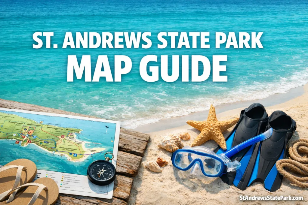
The park’s facility inventory includes a 440-foot Gulf pier, a 125-foot lagoon pier, three dune crossover boardwalks, a beach overlook, the 0.6-mile Gator Lake Trail, and the 1-mile Heron Pond Trail.[b]
🌾 More Than Beach
This is not a one-note shoreline. You get dunes, marsh, coastal vegetation, maritime hammock, and open sand in one park, which means your photo set can feel varied without leaving the property.[c]
What separates the best photo spots at St. Andrews State Park from a generic beach stop is visual range. Some parks give you one good sunset line and then start repeating themselves. Here, the scene keeps changing. The water color, sand texture, rock forms, and habitat transitions create a place that feels less like a single beach and more like a compact coastal atlas.
The Spots That Consistently Produce Strong Images
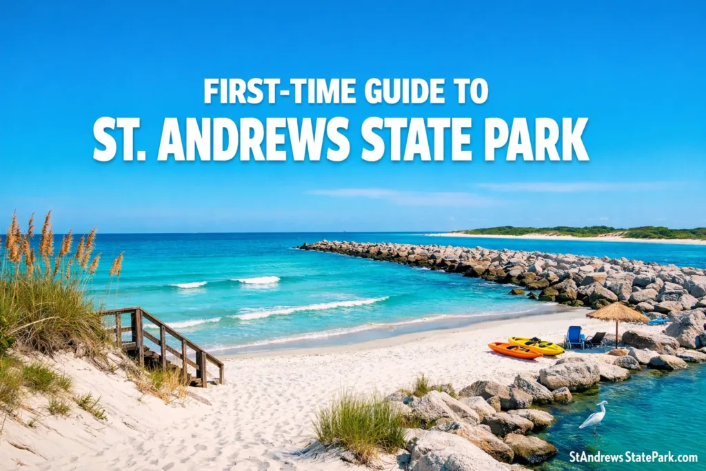
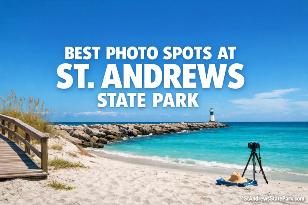
West Jetty
West Jetty is the park’s most reliable answer for anyone chasing a classic St. Andrews State Park photo. The rocks give you direction, the water adds color separation, and the meeting point between channel and shore keeps the composition from feeling flat. This is where the park starts to look almost architectural: rough stone in the foreground, smooth water beyond it, and a horizon that lets the frame breathe.
Photographically, the beauty of the jetty is that it can handle both wide scenic frames and tighter studies of texture. If you want the park’s most recognizable coastal geometry, this is it. The rocks do the heavy lifting without overwhelming the scene, and the nearby sand keeps the palette bright instead of busy.
Gulf Pier
The Gulf Pier gives the park a very different visual rhythm. Official planning records list it at 440 feet, and that length matters because it lets the image build in layers rather than all at once.[b] From a photo standpoint, the pier is where repetition becomes your friend: rails, posts, wave bands, and horizon lines start lining up with almost no effort.
This is also one of the best places in the park for a clean composition. There is very little visual clutter once you commit to the pier axis or to a shoreline-facing angle. If the jetty feels rugged, the pier feels graphic and deliberate. The contrast between those two spots is one reason the best photo spots at St. Andrews State Park never feel repetitive.
Jetty Boardwalks And Beach Overlook
Many articles fixate on rocks and open beach, but one of the park’s smartest photo areas is the Jetty Use Area boardwalk system. Official records note three dune crossover boardwalks and a beach overlook, and that combination is gold for composition because it lets you work with elevation, lines, and foreground vegetation at the same time.[b]
This is where sea oats, dune contours, and the white-sand sweep become most useful in one frame. Official park material highlights more than 1.5 miles of white sand beaches and emphasizes the dune and coastal plant communities that shape the shoreline view.[c] In plain terms, that means you are not just photographing a beach here. You are photographing a living dune edge, and that extra habitat detail gives the image more identity.
🌾 One Detail That Matters
The strongest dune photographs here usually come from respecting the boardwalks and overlook lines. The scene stays cleaner, and the park’s sensitive vegetation stays intact. Recent state beach-management documents also connect St. Andrews State Park to post-construction monitoring after 2024 nourishment and dune planting scheduled for spring 2025, a useful reminder that these foregrounds are part of an actively managed coastal system, not just pretty scenery.[f]
Buttonbush Marsh Overlook
If you want proof that the best photo spots at St. Andrews State Park go far beyond the obvious beach views, the Buttonbush Marsh Overlook is the answer. The official management plan identifies this marsh as a year-round wetland except in severe drought and describes it as a rookery area for great blue heron, great egret, little blue heron, and snowy egret, with seasonal waterfowl in deeper water.[b]
This overlook gives you a softer kind of image than the Gulf side. Think reflections, vertical reeds, layered shrub lines, and birds moving through quieter water. It is the park’s most convincing spot for photographers who want mood instead of spectacle. And sometimes that is exactly what separates a memorable gallery from a collection of pretty but interchangeable beach shots.
Gator Lake Trail And Heron Pond Trail
The park’s trail system is not long by wilderness standards, but that is not the point. The Gator Lake Trail at 0.6 mile and the Heron Pond Trail at 1 mile are short enough to stay approachable and varied enough to keep your subject matter from collapsing into one coastal cliché.[b] These trails work because they let the camera move into interior habitat: scrub, pond margin, shaded vegetation, open sand, and shifting patches of filtered light.
The result is a different visual register. Instead of only big horizon shots, you start getting habitat detail, compressed depth, and images that explain the park as an ecosystem, not just as a swim beach. That matters for anyone building a serious photo set. A gallery with only open sand and water can look polished. A gallery that also includes trail transitions and quiet inland textures feels complete.
Lagoon Use Area And Tour Boat Dock
The Lagoon Use Area is easy to underestimate because it does not shout for attention the way the Gulf side does. Yet the official facility list shows a boat ramp and basin, a 125-foot fishing pier, and a tour boat dock, which makes this one of the most composition-friendly parts of the park for calmer water scenes.[b] Docks, pilings, and shoreline edges add structure, while the water surface often reads more reflective and layered than the open Gulf beach.
There is a technical reason the bay side can look so visually crisp. The official aquatic preserve plan describes St. Andrews Bay as a large estuary with very little freshwater input and a low sediment load.[e] That is not just ecological background. For photographers, it helps explain why water color, bottom visibility, and tonal separation can look unusually refined in the right conditions.
Shell Island And Spanish Ante Point
Shell Island is where the park’s photography becomes most stripped down and most memorable. Because the island portion of the park is accessible only by boat, the scene naturally feels more open, less interrupted, and less edited by development.[a] Official park planning also notes designated landing areas at the west end and in the Spanish Ante Point area, linked by docks and boardwalk access, while recommending low-profile facilities that protect the island’s natural viewshed.[b]
That word matters here: viewshed. Plenty of beach photography spots are nice. Fewer feel visually uninterrupted. Shell Island does. The frames are broader, the horizon feels cleaner, and the subject can shift from shoreline minimalism to barrier-island atmosphere without much effort. If the mainland gives you the park’s variety, Shell Island gives you its most pure coastal expression.
The Habitat Story Behind The Images
A good photo guide should not stop at naming pretty spots. It should explain why those spots look the way they do. At St. Andrews State Park, the answer is habitat variety. Official park material points to white sand beaches, dunes, and coastal plant communities, while the broader park description highlights the contrast between the Gulf side and the bay side.[c][d] That dual setting is what lets one park produce so many different visual moods.
That is also why the best photo spots at St. Andrews State Park are not all on the same line of sand. The most complete photo coverage usually mixes one structural coastal subject such as the West Jetty or Gulf Pier, one habitat-rich subject such as the boardwalk dunes, and one quieter ecological subject such as the Buttonbush Marsh Overlook or Gator Lake Trail. Where else can you get all of that in a single state park without the visual language falling apart?
📍 The Best Overall Sequence For Variety
West Jetty for structure, Jetty Boardwalks for dunes and sea oats, Buttonbush Marsh Overlook for wildlife texture, and Shell Island for the park’s cleanest, least interrupted coastal frames.
References
- Florida Department of Environmental Protection — St. Andrews State Park Proposed Unit Management Plan Amendment, May 2020 (Used for acreage, mainland and Shell Island layout, boat-only access to Shell Island, and official visitation and economic-impact context. Reliable because it is a formal Florida DEP planning document.)
- Florida Department of Environmental Protection — St. Andrews State Park Approved Plan, 2016 (Used for the official facility inventory, pier lengths, trail lengths, boardwalk count, overlook locations, marsh bird context, and Shell Island access details. Reliable because it is the park’s approved state planning record.)
- Florida State Parks — Beaches At St. Andrews (Used for the park’s white-sand beach length and shoreline habitat description. Reliable because it is published by the official Florida State Parks system.)
- Florida State Parks — St. Andrews State Park (Used for the park’s Gulf-and-bay setting and its broad recreational identity. Reliable because it is the official park profile.)
- Florida Department of Environmental Protection — St. Andrews Aquatic Preserve Management Plan (Used for the technical estuary description about low freshwater input and low sediment load. Reliable because it is an official resource-management document for the preserve.)
- Florida Department of Environmental Protection — FY 2025–26 Beach Management Funding Assistance Long Range Budget Plan (Used for the recent beach-restoration monitoring and dune-planting note connected to St. Andrews State Park. Reliable because it is a current state budget-planning document for beach-management projects.)
Frequently Asked Questions
What Is The Most Photogenic Area In St. Andrews State Park?
West Jetty is the strongest all-around answer for a classic coastal frame because it combines rock structure, clear water, and a clean horizon. For a more varied gallery, pair it with the Jetty boardwalks and the Buttonbush Marsh Overlook.
Is Shell Island Part Of St. Andrews State Park?
Yes. The park includes land on both the mainland and Shell Island. The island side is accessible only by boat, which is one reason it offers some of the park’s most open and undeveloped-looking photo backgrounds.
Which Trails Matter Most For Photography?
The most useful trails are the Gator Lake Trail and Heron Pond Trail. They are not long, but they give you a different visual language from the beach by adding pond edge, shaded vegetation, and interior habitat detail.
Where Can You Photograph Dunes And Boardwalk Lines Together?
The Jetty Use Area is the best choice because it includes three dune crossover boardwalks and a beach overlook. This is where sea oats, dune slopes, and white sand line up most naturally in one frame.
Does The Park Offer Both Gulf And Bay Style Photos?
Yes, and that is one of its biggest strengths. The Gulf side is better for big horizon, surf, and rock structure, while the bay and lagoon side usually gives softer water, calmer reflections, and more layered shoreline detail.