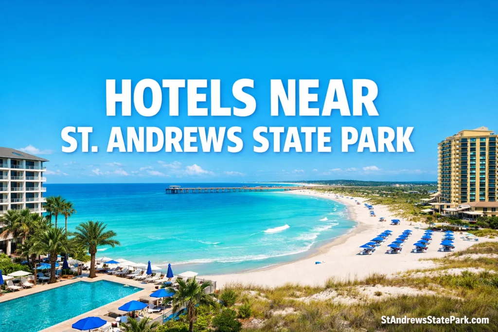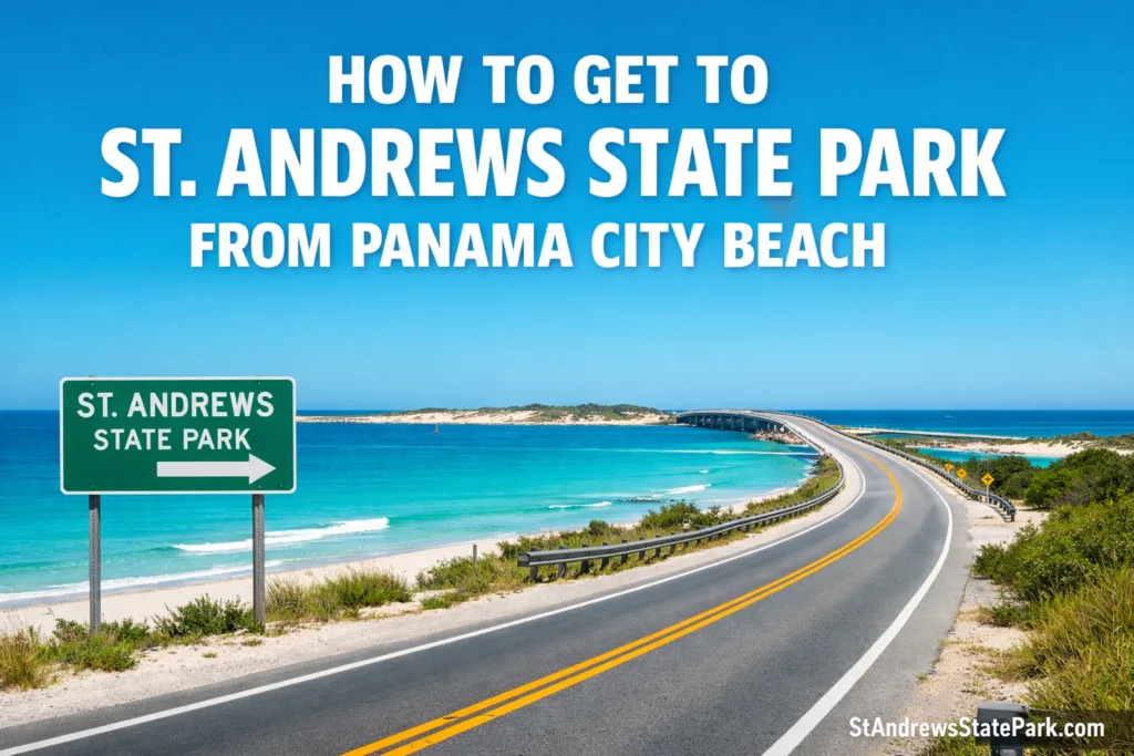
Getting to St. Andrews State Park from Panama City Beach is fairly simple, but the last stretch matters. This is not one of the beach’s open roadside access points. You are driving to a gated state park on the east end, with its own entrance station, loop road, separate beach areas, and a marina side that serves more than one kind of visitor. Follow Thomas Drive all the way to the park approach, and the trip makes sense. Miss that detail, and first-timers often end up in the wrong lot.
Before You Head Out
Where The Park Sits
St. Andrews State Park sits at the pass between St. Andrew Bay and the Gulf of Mexico. The park includes both a mainland section and a Shell Island section, and the official state park map places it three miles east of Panama City Beach off State Road 392, better known locally as Thomas Drive.[c]
The state’s approved management plan adds useful scale: the park covers 1,167 acres and sits about eight miles southeast of the center of Panama City Beach. That helps explain why the drive feels short from the east end of PCB and longer from the west side near the resort corridor. Not far, still. Just not a turn-off you stumble into by accident.[d]
The Main Driving Route From Panama City Beach
From most places in Panama City Beach, the practical move is to work your way onto Thomas Drive and stay with it as it runs toward the quieter east end. Think of Thomas Drive as the funnel; nearly every sensible route narrows into that road before the park gate. Once you get close, the approach becomes more local, less resort-heavy, and then suddenly the entrance appears on State Park Lane.
If you are already staying on the east side of Panama City Beach, the drive is usually straightforward. From the west side, give yourself a little margin. Beach traffic has a habit of making a short coastal drive feel longer than it looks on a map, especially late morning and early afternoon.
Small but useful detail: if you are coming for camping rather than a day visit, the official fee page says campers arriving after sunset should call the park for the gate combination and arrival instructions. That matters more than people expect on the first trip.[b]
What To Do After You Reach The Entrance
Here is the part many short articles skip. Once you pass the gate, a paved park road loops through the mainland section and connects the main public-use areas. So yes, getting to the park is one thing; getting to the right part of the park is the real trick.[e]
| Your Goal | Where To Follow Signs | Why This Area Fits |
|---|---|---|
| Main Gulf beach and pier | Gulf Pier Use Area | Beach access path, a 440-foot fishing pier, and paved parking with 210 standard plus 13 oversized spaces. |
| Jetties, snorkeling, and protected water behind the rocks | jetty Use Area | Dune crossover boardwalks, beach overlook, restrooms, concession area, and 340 standard parking spaces. |
| Boat launch, tour-boat side, picnic area, or playground | Lagoon Use Area | Boat ramp, tour boat dock, fishing pier, playground, and trailer-friendly overflow parking. |
| Campground stay | Lagoon And Pine Grove Loops | The approved plan lists 176 campsites and 4 bathhouses in the campground zone. |
| Official Shell Island ferry | Pier Store / Marina Shuttle | The tram ride to the marina starts at the Pier Store, so do not assume the first beach lot is the ferry area.[f] |
If You Are Going To Shell Island
Shell Island changes the arrival plan. The Shell Island part of St. Andrews State Park is boat-access only, and the official park service page says the ferry ride begins with a tram transfer from the Pier Store to the marina. So if your real goal is Shell Island, drive into St. Andrews State Park first, then follow the internal signs for the ferry operation rather than wandering beach lots and hoping you landed in the right place.[f]
Getting There Without Driving
If you are staying nearby, walking or biking is realistic for some visitors, and the park’s fee schedule makes that clear with a $2 pedestrian or bicyclist entry. For travelers on the quieter east end of Panama City Beach, that can be more pleasant than moving a car just to sit in another parking lot.[b]
Public transit is possible too, just less direct. Bayway, Bay County’s transit system, lists St. Andrews State Park on Route 6 in its current ride guide, so the park is part of the local network rather than a car-only destination.[g]
Bayway also says its fixed-route service runs 6:00 a.m. to 8:00 p.m., with Sunday service offered seasonally from early March through late November. That makes transit workable, but it is still smart to check the live planner before you leave because your starting point in Panama City Beach will shape how easy the ride feels.[h]
Why Early Arrival Still Makes Sense
This park is busy for a reason. A recent impact sheet from the Florida State Parks Foundation lists 749,108 visits and about $90.7 million in economic impact for St. Andrews State Park. That does not mean the drive from Panama City Beach is hard. It means a place this popular rewards people who arrive with a plan: know your entrance fee, know whether you want the pier side or the jetty side, and know whether you are headed for the ferry or the beach.[i]
Questions People Often Ask
Is St. Andrews State Park actually in Panama City Beach?
The park serves the east end of Panama City Beach, but the official state park address is listed as 4607 State Park Lane, Panama City, FL 32408. In practice, most visitors treat it as one of the main nature stops on the Panama City Beach side of Bay County.
Which road should I use from Panama City Beach?
For most visitors, Thomas Drive is the road that matters. Stay with it toward the east end, then continue to the state park entrance on State Park Lane.
Do I pay before I park?
Yes. St. Andrews is a gated Florida state park, so you pay at entry rather than using an ordinary public beach access lot.
Which part of the park should I drive to for snorkeling?
The Jetty Use Area is the one most people mean when they talk about the jetties and the calmer protected water behind them. It is different from the Gulf Pier side, so follow the internal signs once you are through the gate.
Can I get there without a car?
Yes. Bayway includes St. Andrews State Park on Route 6, and the park also has a pedestrian and bicyclist entry fee. Whether that feels easy depends on where in Panama City Beach you are starting.
Source Notes
- [a] Florida State Parks — St. Andrews State Park — used for the official address and park overview connected to arrival planning. This is reliable because it is the official Florida State Parks page operated through the Florida Department of Environmental Protection.
- [b] Florida State Parks — Hours & Fees — used for current opening hours, entrance fees, and late camper arrival instructions. This is reliable because it is the park’s official fee and operations page.
- [c] Florida State Parks — Official Park Map PDF — used for the “three miles east of Panama City Beach off State Road 392 (Thomas Drive)” location detail. This is reliable because it is the official park map published by Florida State Parks.
- [d] Florida Department of Environmental Protection — St. Andrews State Park Approved Plan (2016) — used for acreage, broader location context, and park-layout details. This is reliable because it is the state-approved planning document for the park from the DEP.
- [e] Florida Department of Environmental Protection — Approved Plan, Facilities Section — used for the loop road and mainland public-use-area structure after the entrance. This is reliable because it comes from the same official DEP management plan that describes existing facilities and circulation.
- [f] Florida State Parks — Shell Island Adventures — used for the ferry access note that the tram ride to the marina starts at the Pier Store. This is reliable because it is the park’s official service page for Shell Island access.
- [g] Bayway — 2025 Fixed Route Ride Guide — used for the Route 6 reference to St. Andrews State Park. This is reliable because it is the official Bayway transit ride guide published by the county transit operator.
- [h] Bayway — Official Transit Site — used for current fixed-route service hours and Sunday-service note. This is reliable because it is the official website of Bay County’s transit system.
- [i] Florida State Parks Foundation — 2025 St. Andrews State Park Fact Sheet — used for recent visitation and economic-impact figures that explain why planning your arrival still matters. This is reliable because it is an institutional park-impact sheet published by the Florida State Parks Foundation and tied directly to the Florida State Parks system.